Mynt Models · Lucerne
South to the most photographed mountain in Europe, or east to the valley with the best light in it.
The premise
Lucerne sits at the hinge of Switzerland, with the Valais south of it and the Engadine east. Those are the country’s two great high valleys and they are nothing alike: one is a dead-end under a single famous peak, the other a long sunlit basin of lakes. Both are inside helicopter range.
The routes
Select your destination to learn more:
Itinerary 01 · the Valais, south through the Rhône valley
Under an hour, to a village with no cars
Journey
Under an hour by helicopter
From
the Lucerne area
Into
Zermatt, car-free
Or by air
By road to Täsch, then the shuttle train
The crossing
Zermatt is reachable from the Lucerne area by helicopter in under an hour, or by luxury car south via Brig through the upper Rhône valley, with the car-free resort accessible from Täsch by the valley shuttle train.
By private helicopter
Under an hour
By road to Täsch, then the shuttle
Most of a morning
The register
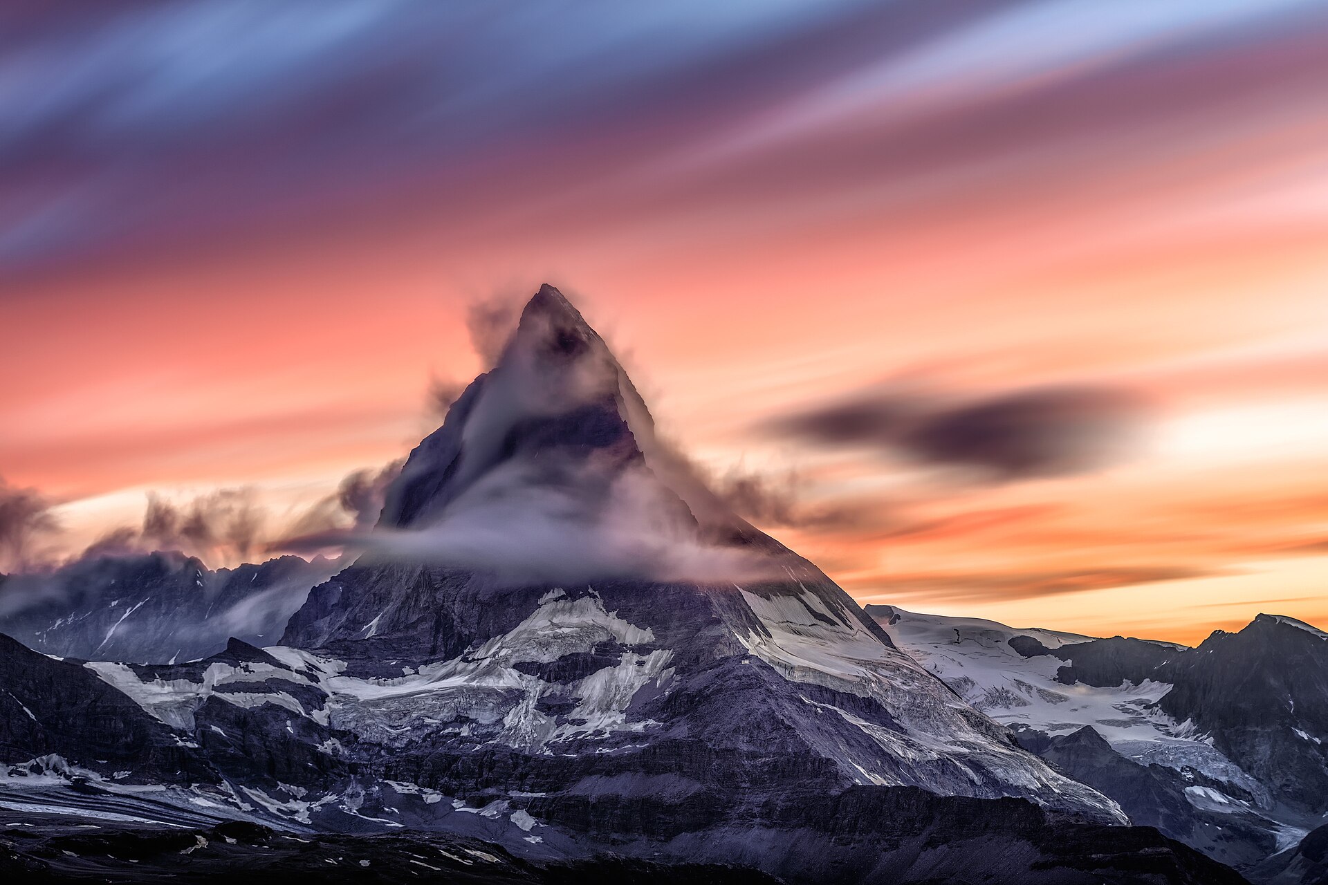
The Matterhorn’s pyramid form above the village at 4,478 metres provides the defining image of the Swiss Alps, its north face visible from the main street and the elevated terrace positions across the resort.
Your concierge can arrange private transfers into the car-free resort, ski access, and accommodation throughout the village.
46.0207° N, 7.7491° E · Zermatt, below the north face
The run
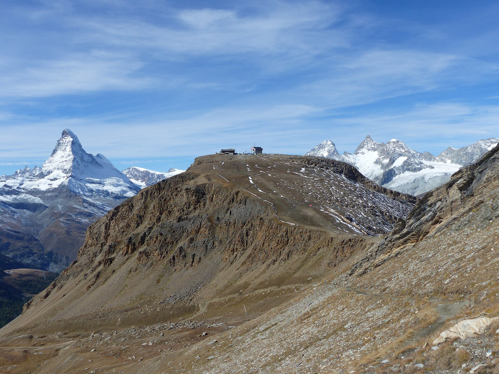
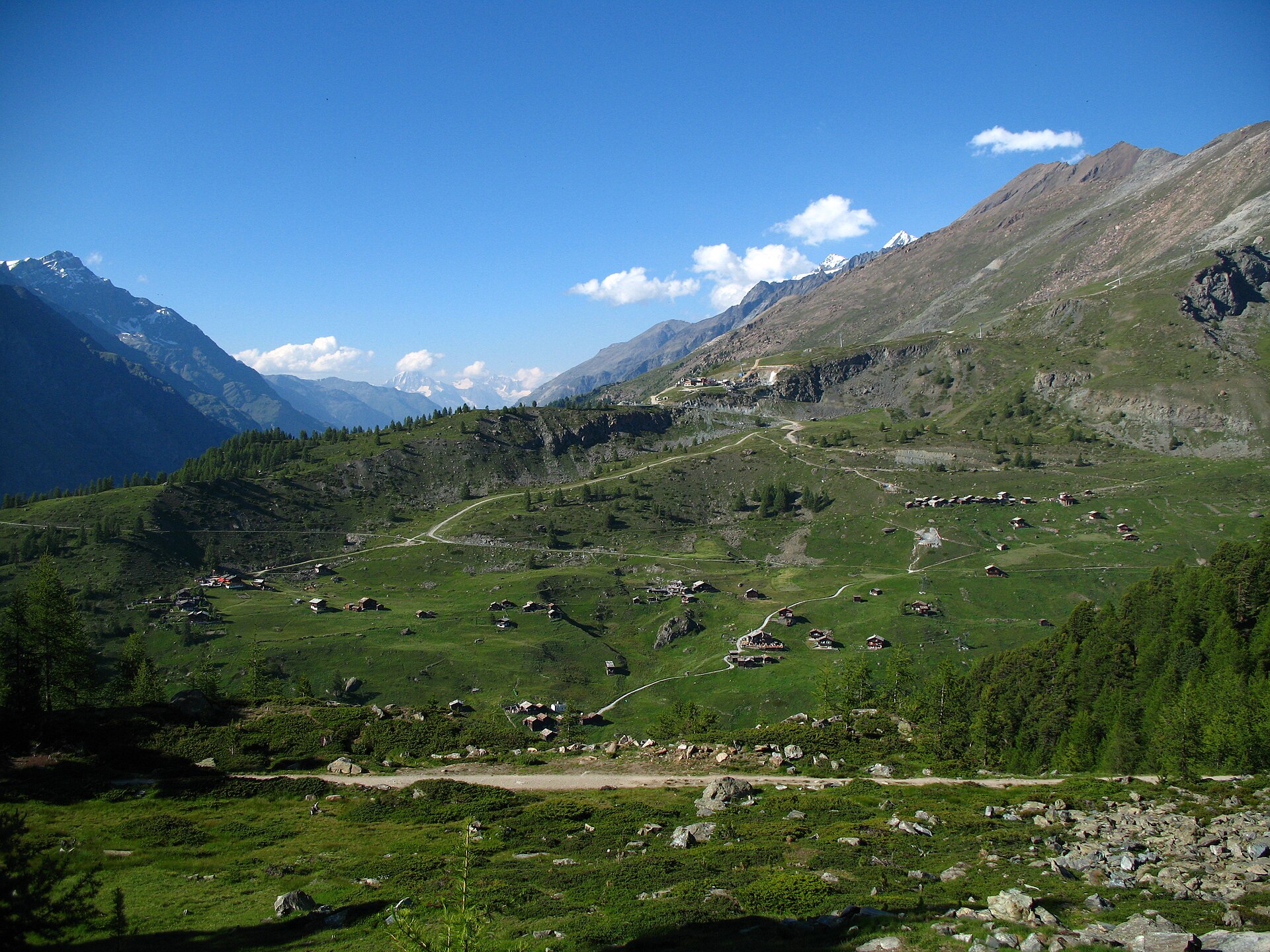
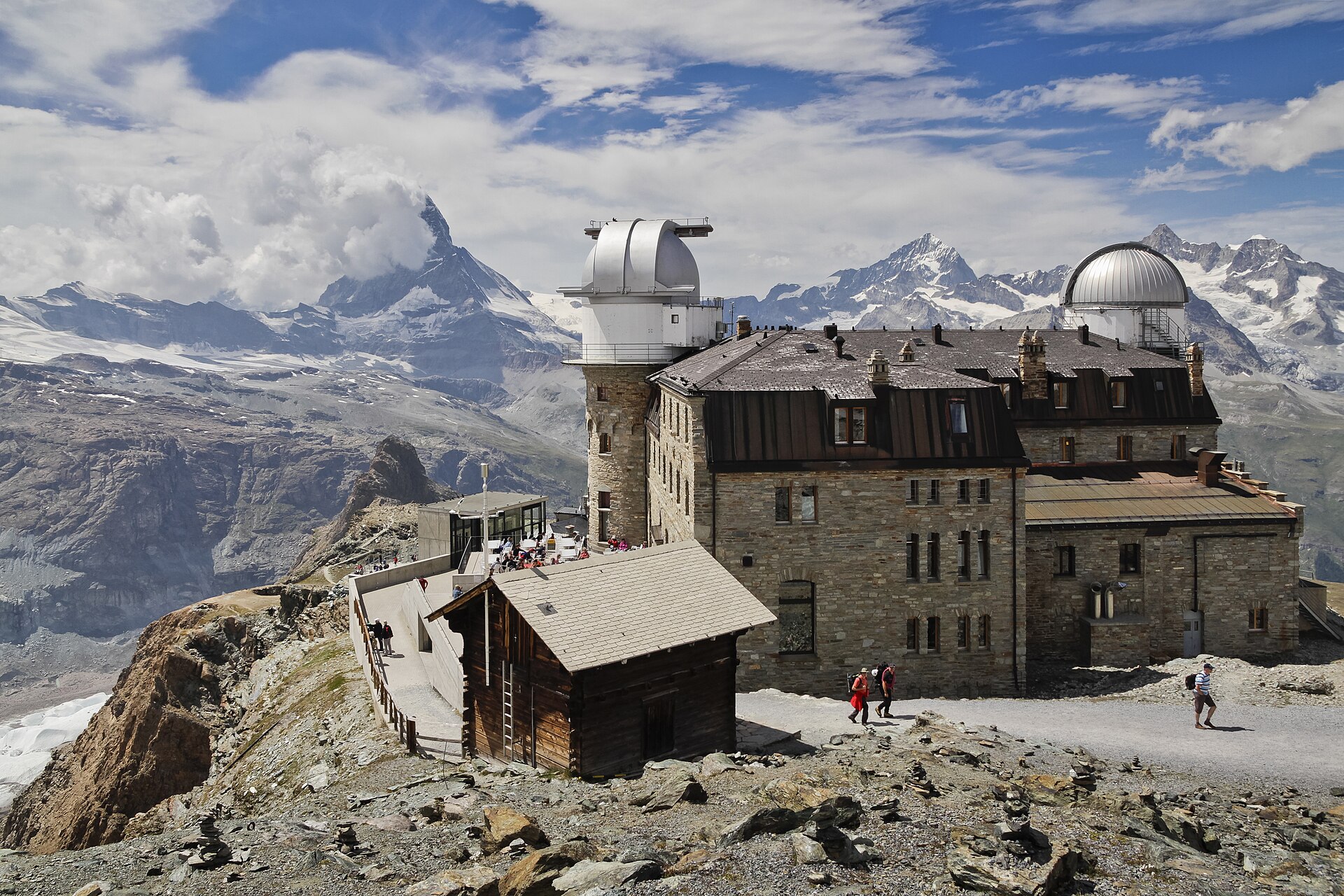
The Rothorn gondola on the eastern side of the valley ascends to 3,103 metres above the Findeln alp, its intermediate stations carrying ski terrain that separates it from the busier Schwarzsee and Riffelberg sectors closer to the Matterhorn base. The Gornergrat rack railway climbs to 3,089 metres on the opposite ridge, its summit terrace facing directly across to the Monte Rosa massif and the Breithorn.
The north face, from the main street
The Rothorn, up the eastern side
The Findeln alp, below the stations
The Gornergrat, on the far ridge
On arrival
Itinerary 02 · the Upper Engadine, east via Chur
A basin at eighteen hundred meters
Journey
Under an hour by private charter
From
Lucerne
Into
Engadin Airport at Samedan
Or by air
Under three hours by road via Chur
The crossing
St. Moritz is under three hours from Lucerne by luxury car east via Chur and the Upper Engadine valley, or accessible by private charter to Engadin Airport at Samedan in under an hour.
By private charter to Samedan
Under an hour
By luxury car east via Chur
Under three hours
The register
The Engadine valley’s reputation for exceptional light at altitude results from its sheltered basin position and solar hours significantly above comparable Swiss resort elevations.
Your concierge can arrange private access across the Engadine ski network, lake activities, and accommodation across both resort addresses.
46.4908° N, 9.8355° E · St. Moritz, in the lake basin
The run
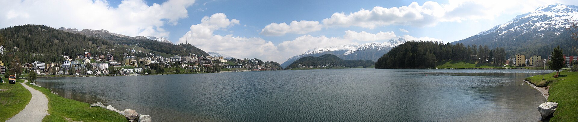
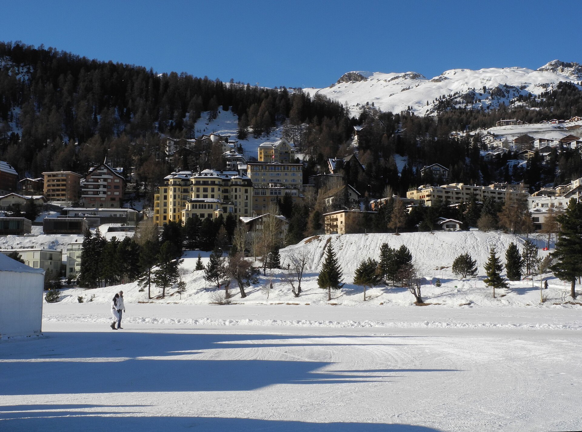
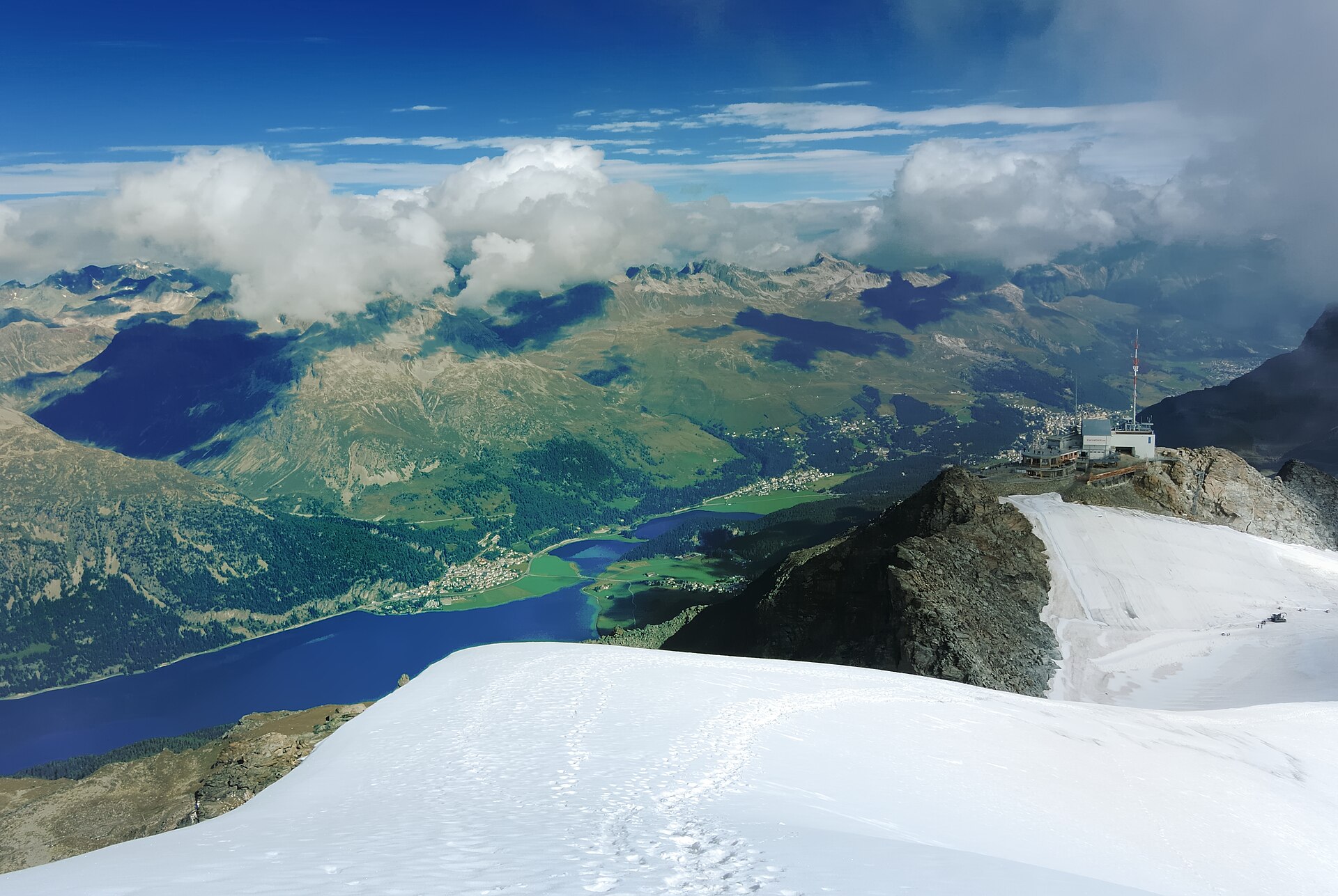
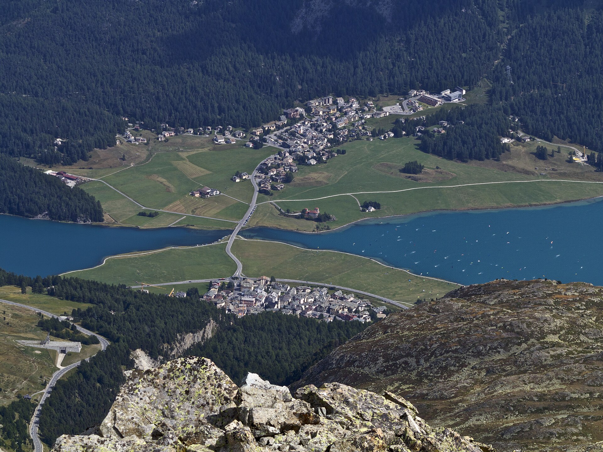
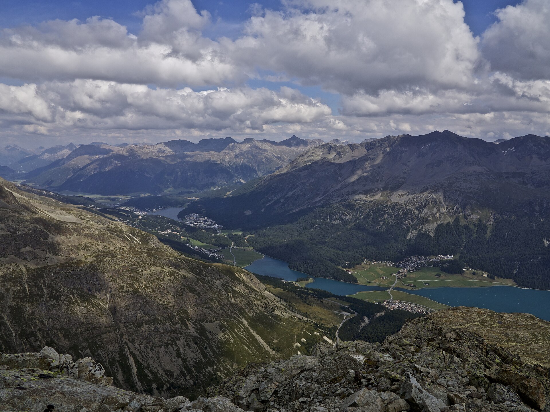
The resort occupies the upper Engadine lake basin at 1,800 metres: St. Moritz Bad on the lower lake shore and St. Moritz Dorf on the terrace above constitute two distinct resort addresses with separate seasonal characters. The Corviglia ski area above the Dorf provides the principal descent terrain and connects across to the Signal sector above Celerina; the Corvatsch on the opposite side of the lake opens higher south-facing runs toward Silvaplana.
St. Moritz Bad, on the lower shore
St. Moritz Dorf, up on the terrace
The Corvatsch, across the water
Silvaplana, at the far end
On arrival
The company
Every itinerary on this page is arranged for two. A terrace facing a famous north face and a frozen lake basin in January light are both occasions that want someone with you.
An outgoing, authentic and playful girlfriend for an FMTY travel GFE arrangement makes everything better. The elite companions introduced through Mynt Models are chosen for exactly that, and they are as composed at three thousand meters as at dinner in a village with one street.
Questions
You drive as far as Täsch and the valley shuttle train takes you the rest of the way, or the helicopter puts you in directly. Inside the village there are no cars at all.
The eastern side is quieter. The Rothorn above the Findeln alp holds terrain that separates it from the busier sectors nearer the base of the mountain itself.
Because it is measurable rather than romantic. The basin is sheltered and sits high, and its solar hours are well above comparable Swiss resort elevations.
One is on the lower lake shore and one on the terrace above it, and they keep separate seasonal characters. Your concierge will ask which season you are coming in before recommending either.
Every model is met and vetted in person before she is represented, and only a small share of applicants are accepted. That is why an FMTY travel companion arranged through us is as at ease on a glacier terrace at noon as in a hotel bar that has not changed in a century.
Skipping the valley roads. Both destinations are long drives and short flights, and what is arranged is the helicopter, the guide and the house inside a village that does not allow traffic.
Arrange the journey
Zermatt and St. Moritz approach the Swiss high Alps from different directions, one centering on the Matterhorn’s canonical form and the other opening the long Engadine basin, but both fall within helicopter range of the Lucerne area.
Request a private consultation to begin planning your itinerary.