Mynt Models · Sacramento
Close enough that the question is never whether to go, only which direction to take on the day.
The premise
Every other city on this site treats wine country as a trip. From here it is a decision made over breakfast. Twenty minutes in the air or an hour on I-80 puts you on the valley floor, which changes what the weekend is for: not seeing the place, which you have done, but getting into the rooms and the hillsides that a first visit never reaches.
The routes
Select your destination to learn more:
Itinerary 01 · The valley’s northern end
Twenty minutes by air, under an hour by road
Journey
Under twenty minutes by charter
From
Sacramento International
Into
Napa County Airport
Or by road
Under an hour on I-80 and Highway 29
The crossing
Sacramento sits closer to the northern end of Napa Valley than to the south, the valley floor reachable in under an hour by luxury car west on I-80 and south on Highway 29, or by private charter from Sacramento International to Napa County Airport in under twenty minutes.
By private charter or commercial flight
Under twenty minutes
By luxury car on I-80 and Highway 29
Under an hour
The register
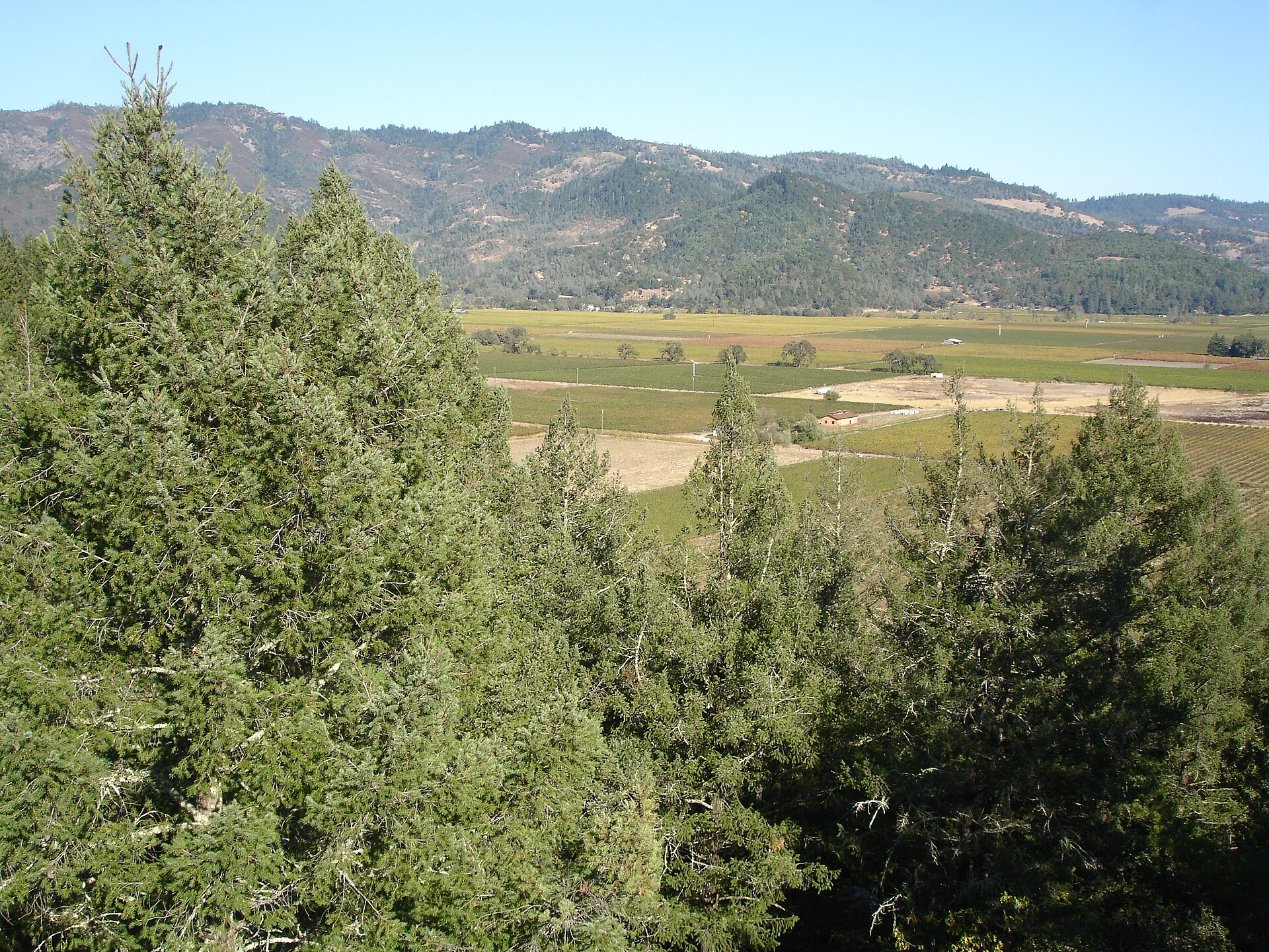
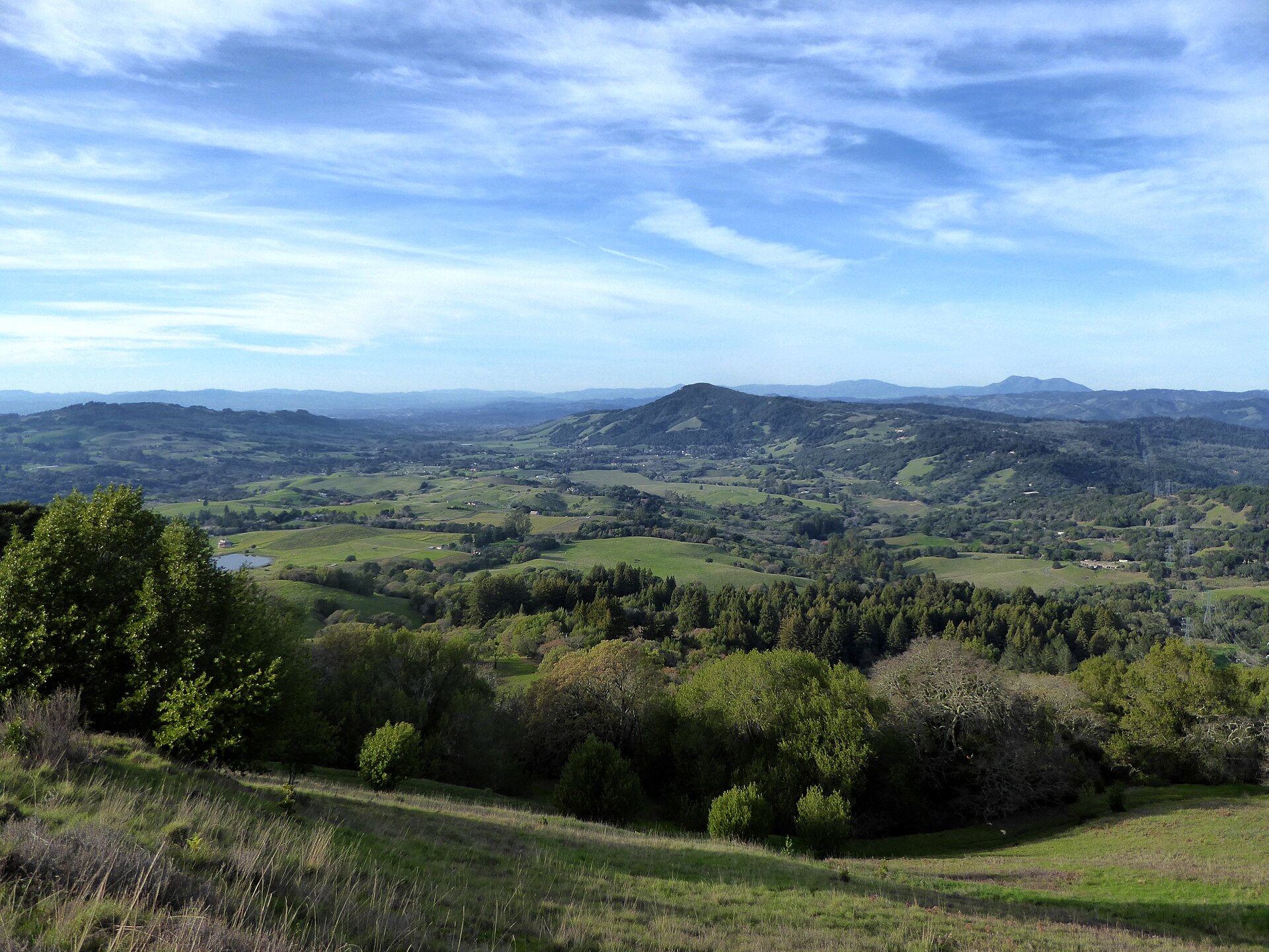
Spring Mountain District and Diamond Mountain on the valley’s western ridgeline above Calistoga carry a distinctly different character from the valley floor, their cooler temperatures and more concentrated growing season producing structured Cabernet at elevation.
Your concierge can arrange private access to estate producers in the northern valley, ridge-road tastings, and transfers across both the valley floor and the hillside appellations.
38.5788° N, 122.5797° W · Calistoga, at the head of the valley
The run
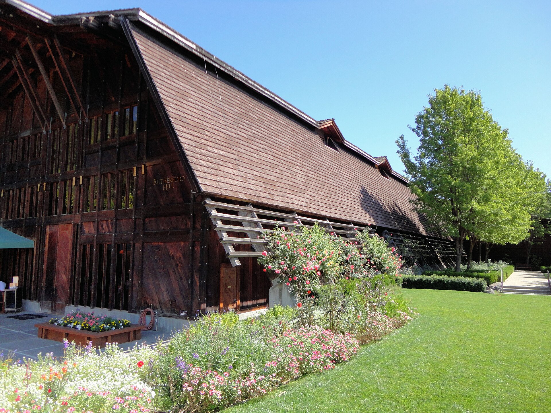
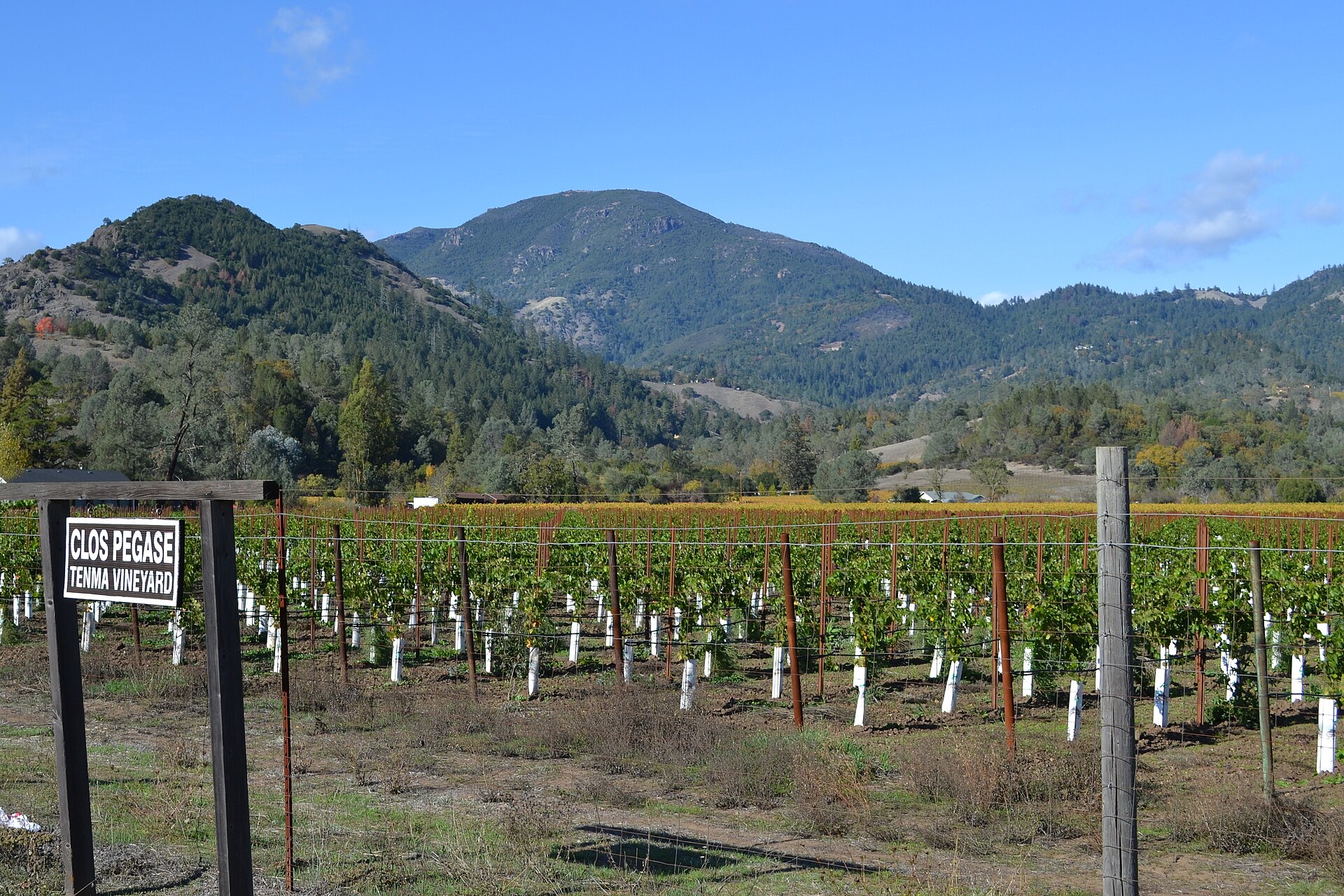
From the northern approach, Calistoga and the Larkmead Lane corridor are the natural first destinations, the valley narrowing here before opening southward through the Rutherford bench and Yountville appellation. Howell Mountain on the eastern hills above Napa town produces at altitude with the morning fog layer below rather than within it.
Calistoga and the Larkmead Lane corridor
South through the Rutherford bench
Spring Mountain and Diamond Mountain
Howell Mountain, above the fog layer
On arrival
Itinerary 02 · The Sonoma Coast
A county most visitors never see the far side of
Journey
Roughly twenty minutes by charter
From
Sacramento International
Into
Charles M. Schulz Sonoma County
Or by road
Under ninety minutes on I-80 and 101
The crossing
Sonoma County is accessible from Sacramento by private charter to Charles M. Schulz Sonoma County Airport in roughly twenty minutes, or by luxury car west on I-80 and north on Highway 101 into Santa Rosa in under ninety minutes.
By private charter or commercial flight
Roughly twenty minutes
By luxury car on I-80 and Highway 101
Under ninety minutes
The register
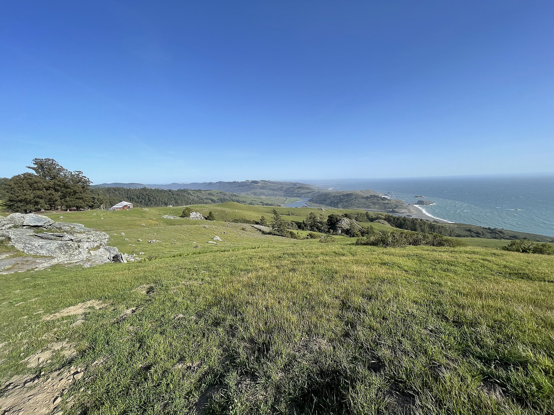
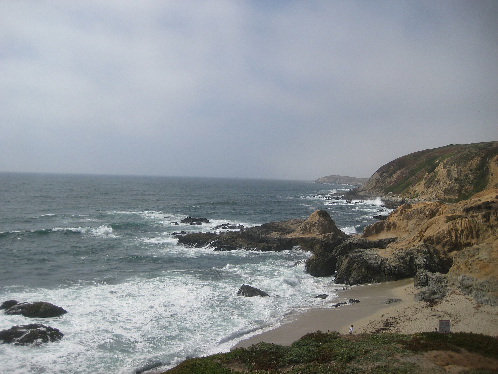
The county’s westernmost edge along the Sonoma Coast, where the Russian River meets the Pacific near Jenner and the steep cliffs above Bodega Bay define the shoreline, represents a very different Sonoma from the Healdsburg tasting room circuit.
Your concierge can arrange coastal and inland appellation access, private tastings, and transfers throughout the county.
38.4491° N, 123.1147° W · Jenner, where the river meets the Pacific
The run
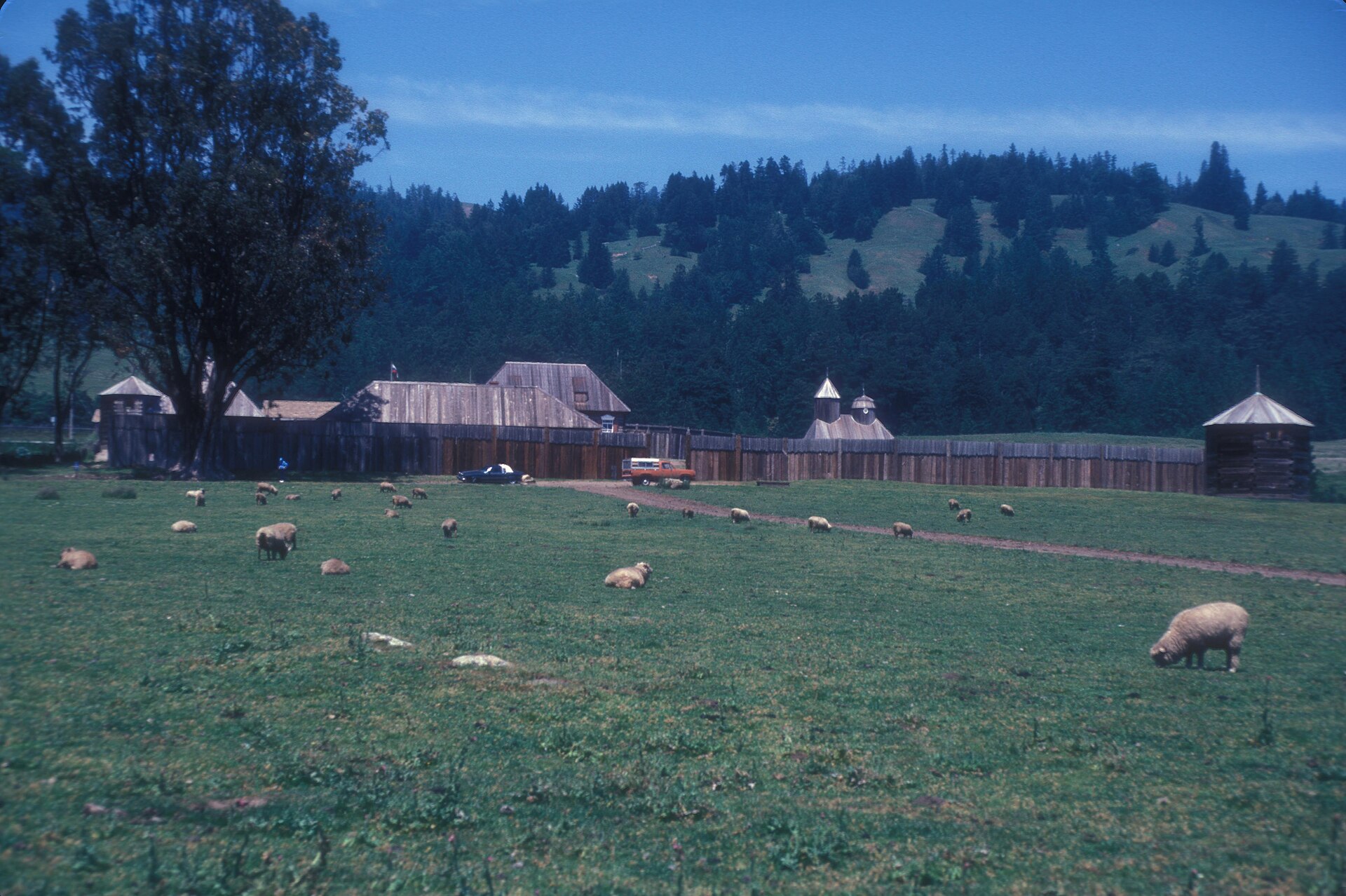
Bennett Valley south of Santa Rosa carries its own microclimate away from the urban corridor, while Geyserville at the upper end of Alexander Valley maintains a quieter agricultural character than the busier central stretch. Fort Ross-Seaview above the coastal cliffs north of Bodega Bay is among the county’s most remote appellations, its small number of producers working above the fog line in conditions unlike any other Sonoma zone.
Bennett Valley, south of Santa Rosa
Geyserville, at the top of Alexander Valley
The cliffs above Bodega Bay
Fort Ross-Seaview, above the fog line
On arrival
The company
Every itinerary on this page is arranged for two. When somewhere is this close you end up going often, and going often is only worth arranging with someone whose company is as good on the fifth visit as on the first.
An outgoing, authentic and playful girlfriend for an FMTY travel GFE arrangement makes everything better. The elite companions introduced through Mynt Models are chosen for exactly that, and they are as at ease on a ridge road in the morning as above the surf that afternoon.
Questions
When the day matters, yes. It removes the I-80 corridor at either end, which is the unpredictable part, and it puts you on the valley floor before the first appointment rather than after it.
Because it is the near end from here, and it is the quieter one. The valley narrows at the top and the ridgeline appellations above it are a different proposition from the floor.
Completely. The western edge of the county is cliffs, fog and a handful of producers working above the fog line. It shares a county line with the circuit and almost nothing else.
Autumn through spring. The ridge roads are at their best when the valley floor is under fog and you are above it, which is most mornings from October onward.
Every model is met and vetted in person before she is represented, and only a small share of applicants are accepted. That is why an FMTY travel companion arranged through us is as good company on a winding ridge road as at the table at the end of it.
Access rather than distance. Everything is already close; what has to be arranged is the door that does not open to a walk-in.
Arrange the journey
Napa and Sonoma are rarely more than an hour from Sacramento by car or twenty minutes by charter, which makes wine country feel less like a destination and more like a genuine extension of the city’s weekend geography. Both repay multiple visits across different seasons.
Request a private consultation to begin planning your itinerary.