Mynt Models · San Francisco
Versions of the state with nothing in common but a departure city, and none of them far from the bridge.
The premise
The problem here is not access. It is that the city sits within two hours of four landscapes that have nothing to do with one another, and choosing between them is the only hard part of the arrangement. A valley floor, a set of fog-cooled hills, a stretch of coastal links and ninety miles of cliff road are not variations on a theme. They are four separate trips that happen to share a departure city.
The routes
Select your destination to learn more:
Itinerary 01 · One corridor, Carneros to the north
Ninety minutes by road, twenty-five in the air
Journey
Twenty-five minutes by charter
From
San Francisco or Oakland International
Into
Napa County Airport
Or by road
Ninety minutes over the Bay Bridge
The crossing
Napa Valley begins ninety minutes north of San Francisco by luxury car, crossing the Bay Bridge and heading north on I-80 before joining Highway 29 at the valley’s southern entrance near Carneros, or a twenty-five-minute private charter from San Francisco International or Oakland International to Napa County Airport.
By private charter or commercial flight
Twenty-five minutes
By luxury car over the Bay Bridge
Ninety minutes
The register
The proximity from San Francisco makes this a genuine day itinerary for those who prefer not to stay over, though the valley’s rhythm generally makes the argument for a second night.
Your concierge can arrange private estate access and transfers throughout.
38.4574° N, 122.4222° W · Rutherford, on the valley floor
The run
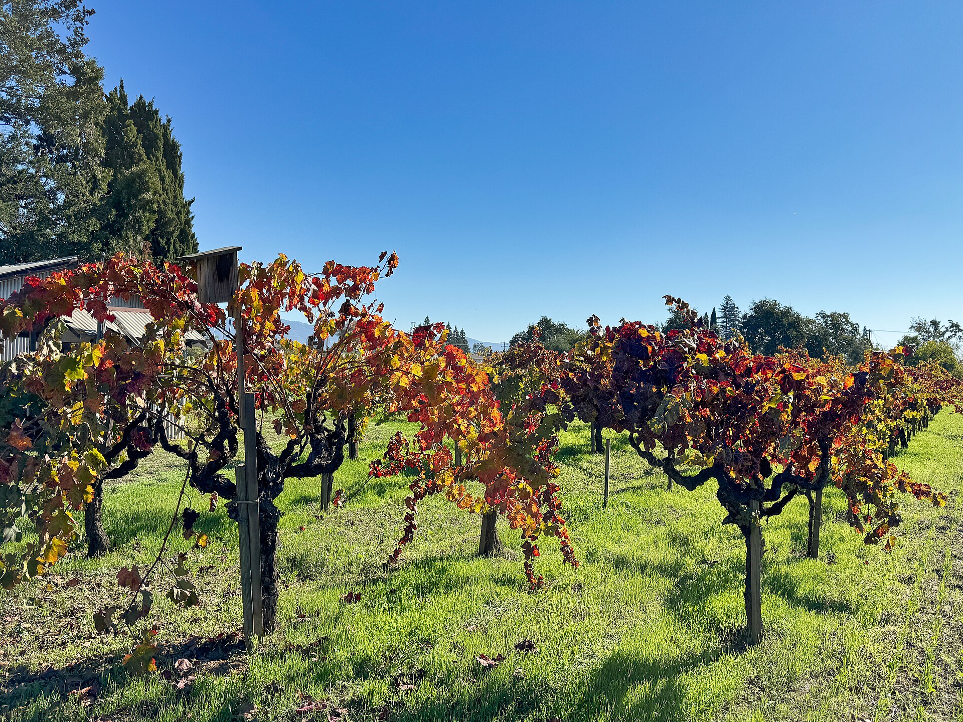
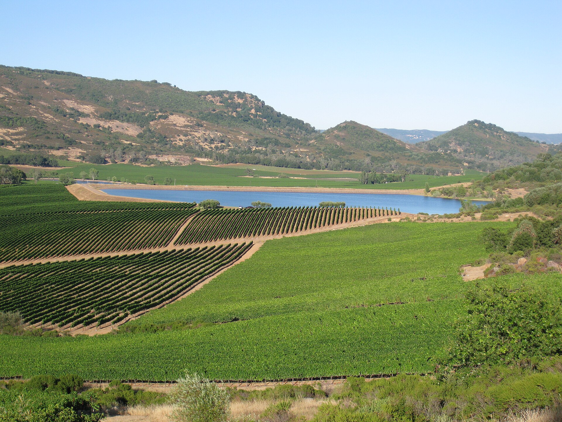
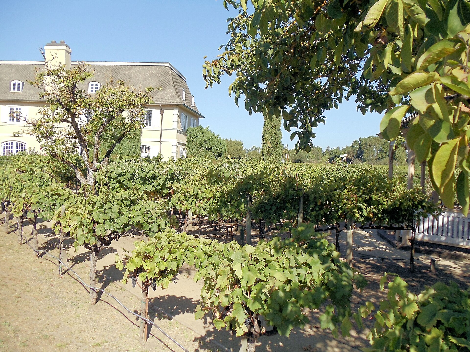
The valley floor runs in a single corridor from Carneros in the south, where morning fog off San Pablo Bay keeps the vineyards cool, through Yountville, Rutherford, and St. Helena to Calistoga at the northern end. The Silverado Trail along the eastern ridge gives a different perspective from the valley floor, passing through the Stags Leap District and the elevated Atlas Peak estates above Napa town.
Carneros, where the bay fog reaches in
North through Yountville and Rutherford
The Silverado Trail along the eastern ridge
The Atlas Peak estates above the town
On arrival
Itinerary 02 · Three appellations around Healdsburg
Forty-five minutes up 101 through Marin
Journey
Forty-five minutes by road
From
North on Highway 101 through Marin
Or by air
A short charter from San Francisco
Into
Charles M. Schulz Sonoma County
The crossing
Sonoma County opens up forty-five minutes north of San Francisco along Highway 101 through Marin County and past the bay’s northern reach, or a short charter from San Francisco International to Charles M. Schulz Sonoma County Airport in Santa Rosa.
By luxury car north on Highway 101
Forty-five minutes
By private charter into Santa Rosa
A short flight
The register
The county covers a broader and less uniform geography than Napa: the Russian River Valley runs through old-growth redwood south of Healdsburg toward the coast, carrying the Pacific’s fog influence deep into the appellation.
Your concierge can arrange multi-appellation itineraries, private producer visits, and transfers between Healdsburg and the Sonoma Valley floor further south.
38.6102° N, 122.8694° W · Healdsburg, Sonoma County
The run
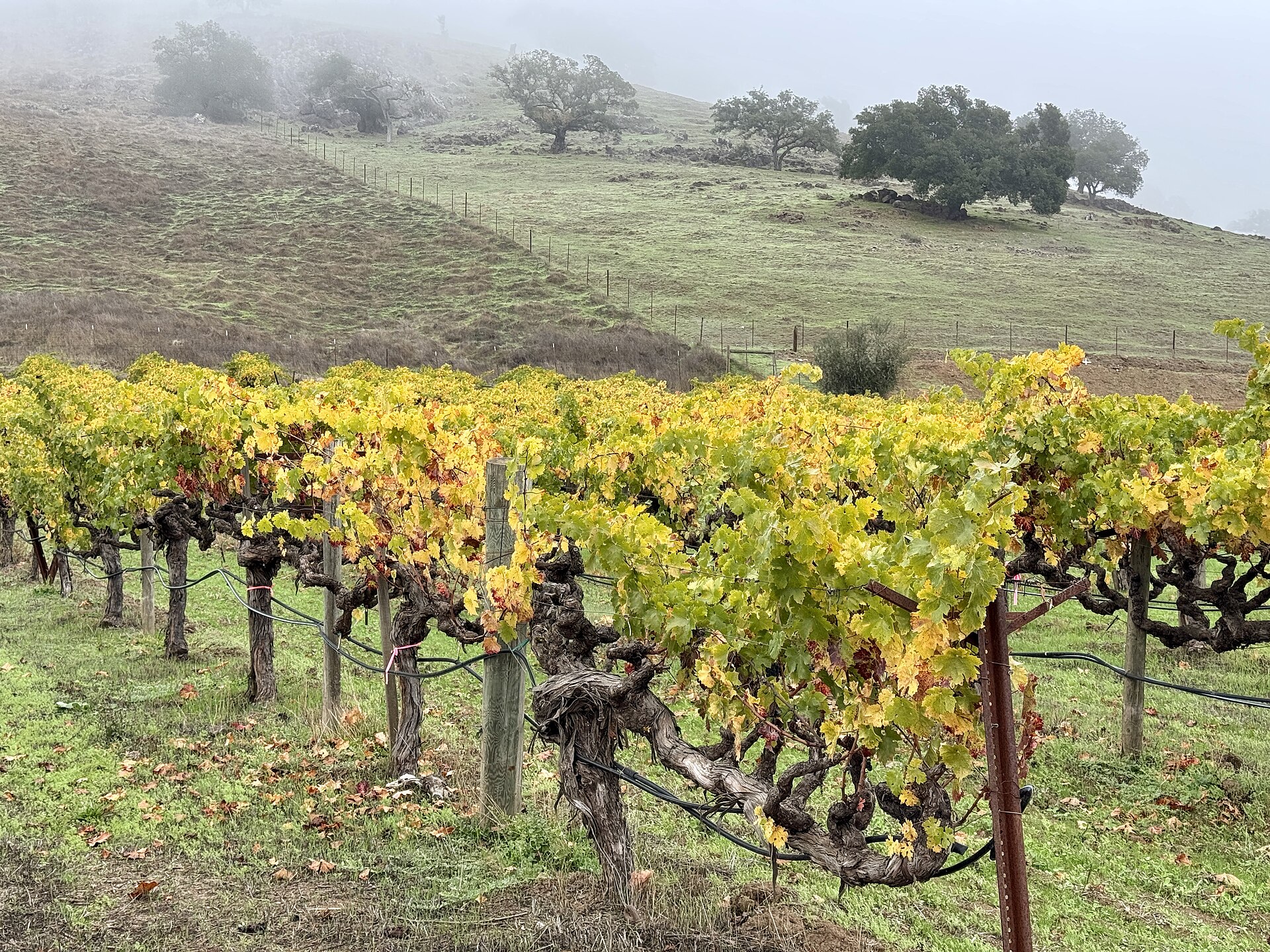
Dry Creek Valley climbs west of Healdsburg into drier hillside terrain suited to Zinfandel and old-vine Cabernet. Alexander Valley runs north and east, warmer and more sheltered. Healdsburg is compact enough to anchor all three appellations without losing time to logistics.
Healdsburg, at the center of the three
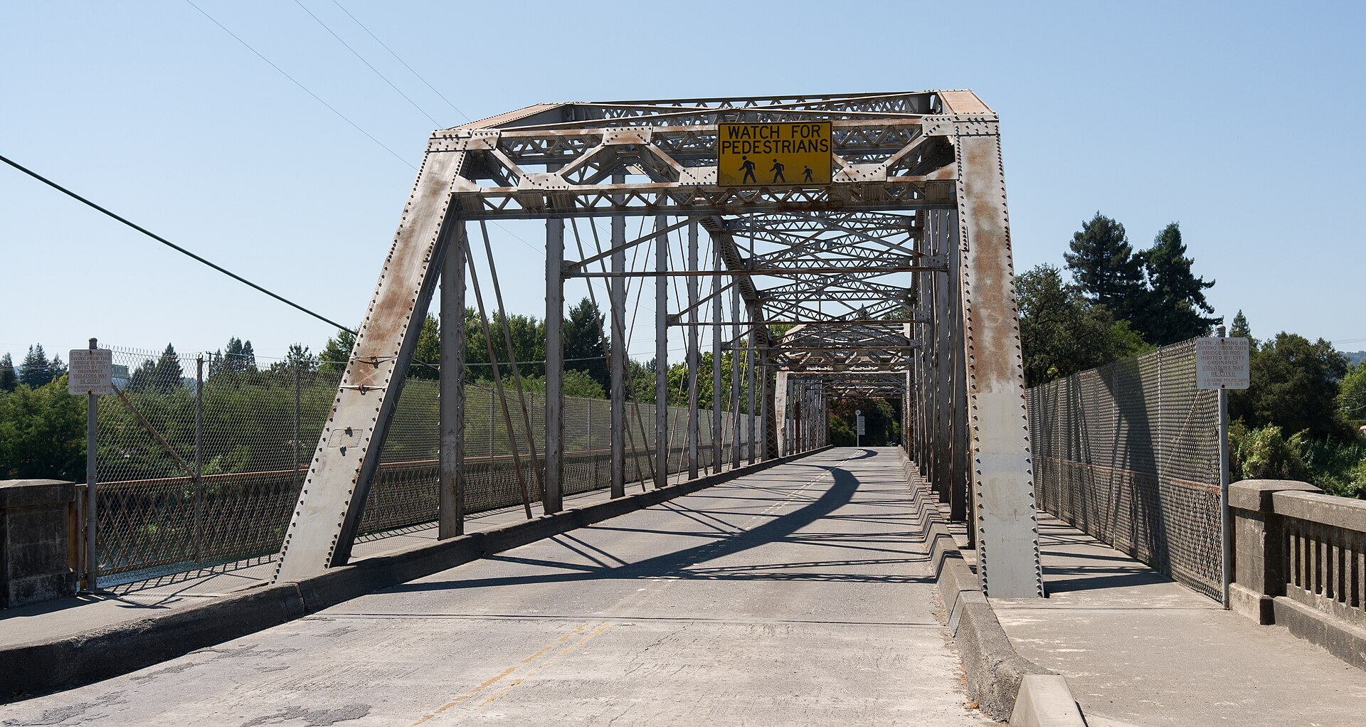
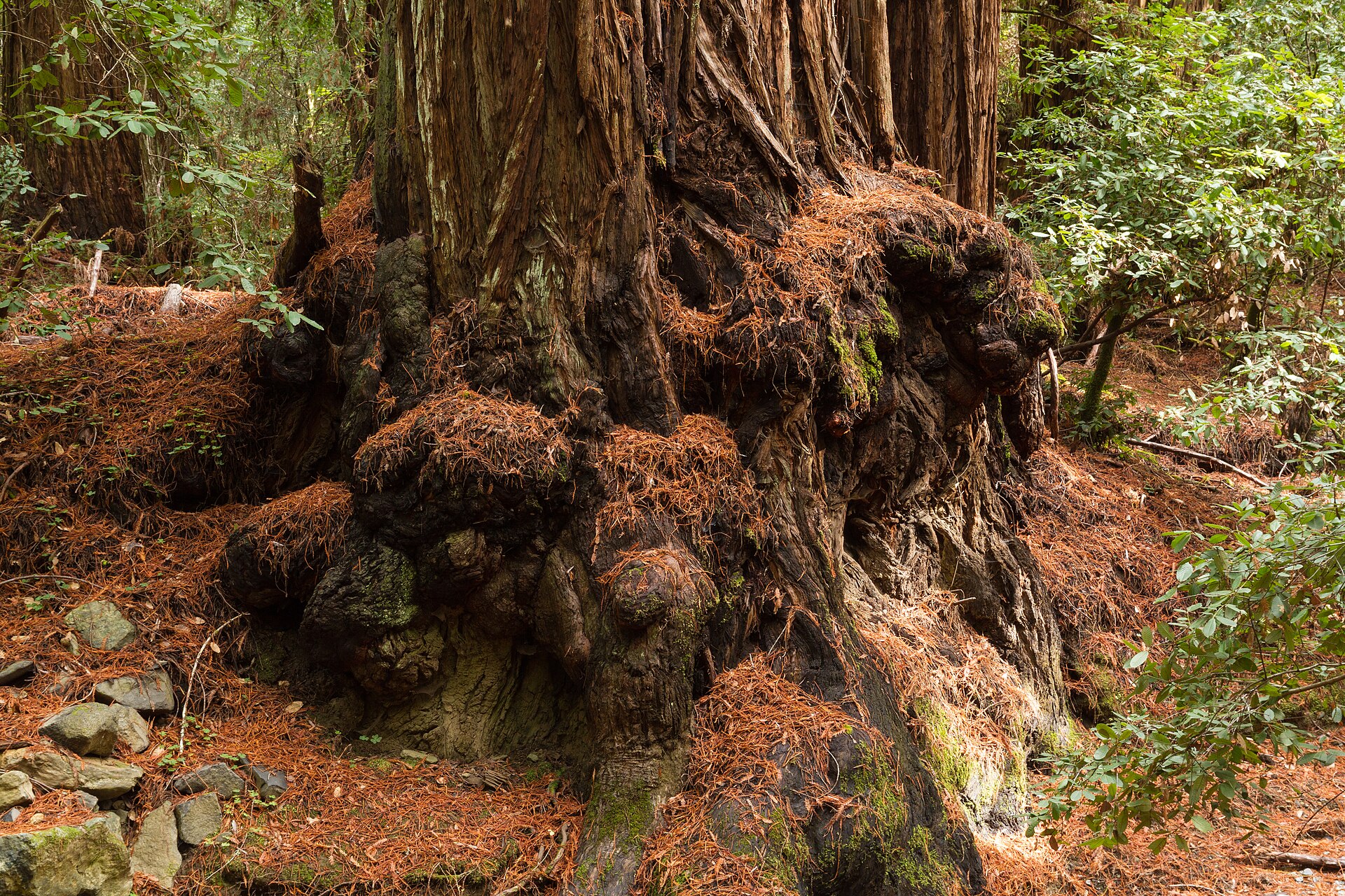
The Russian River through the redwoods
Dry Creek, on the drier hillsides west
Alexander Valley, warmer to the northeast
On arrival
Itinerary 03 · The Monterey Peninsula
Two hours down Highway 1, or thirty-five in the air
Journey
Thirty-five minutes by charter
From
San Francisco International
Into
Monterey Regional Airport
Or by road
Two hours along Highway 1
The crossing
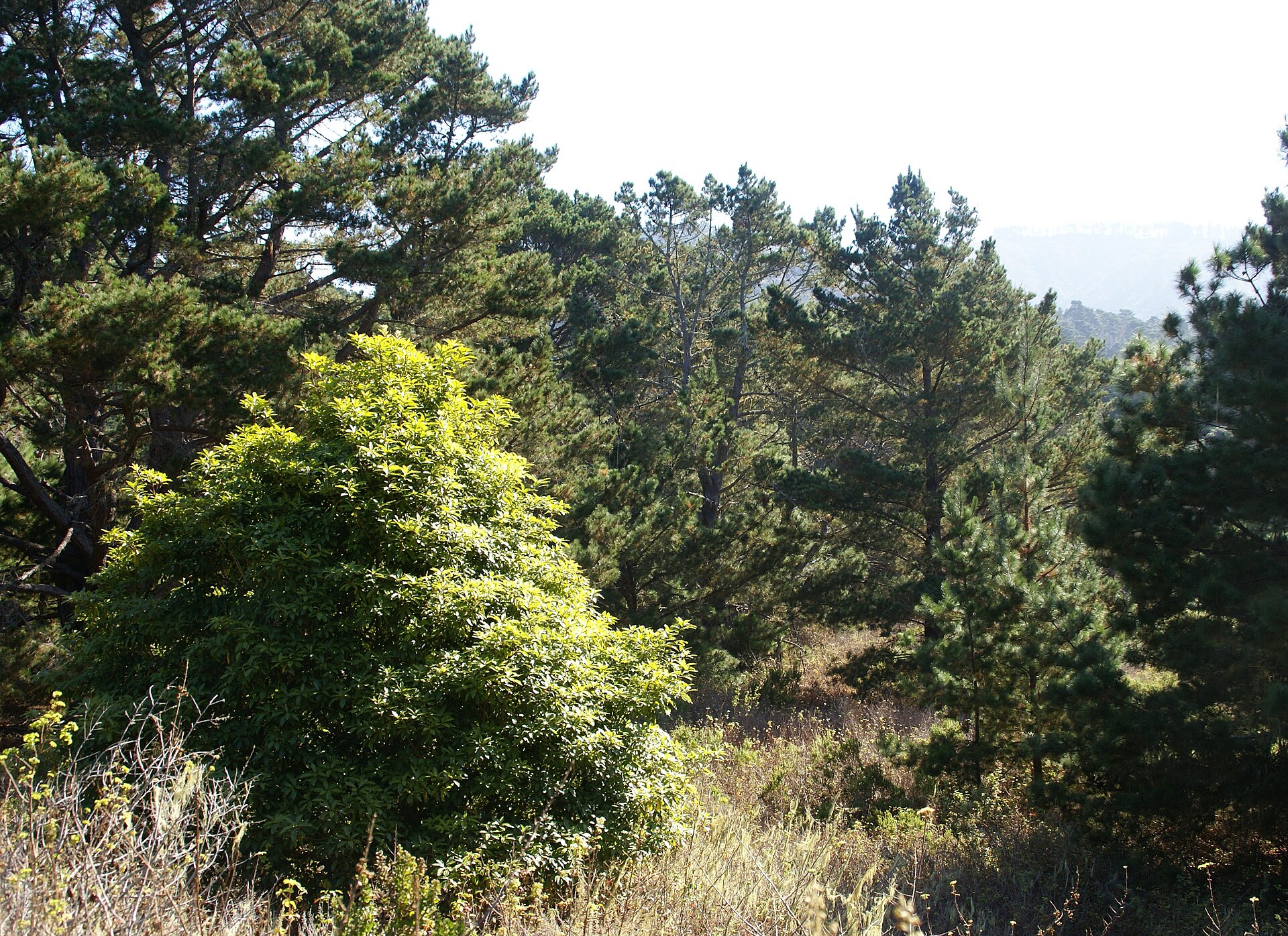
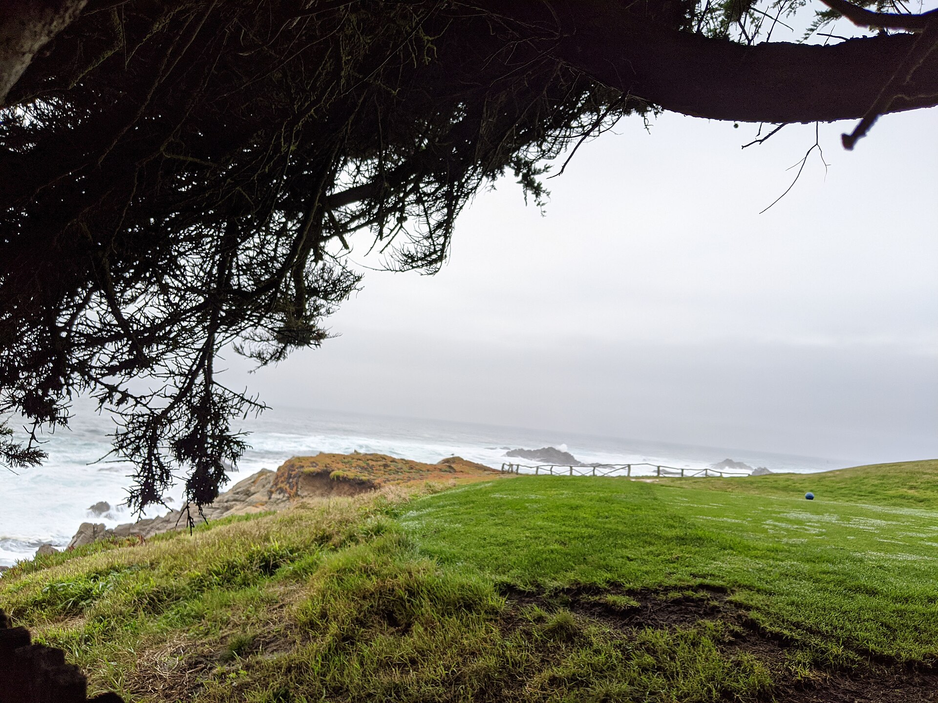
Pebble Beach sits on the Monterey Peninsula two hours south of San Francisco by luxury car along Highway 1, or a thirty-five-minute private charter to Monterey Regional Airport followed by a short transfer into the Del Monte Forest reserve.
By private charter or commercial flight
Thirty-five minutes
By luxury car south on Highway 1
Around two hours
The register
Carmel-by-the-Sea sits immediately to the south, its stone cottage lanes and Ocean Avenue galleries forming a natural extension of the peninsula.
Your concierge can arrange private tee-time access on the coastal links, beach access along Stillwater Cove, and accommodation and dining reservations throughout Carmel and the reserve.
36.5686° N, 121.9490° W · the Del Monte Forest reserve
The run
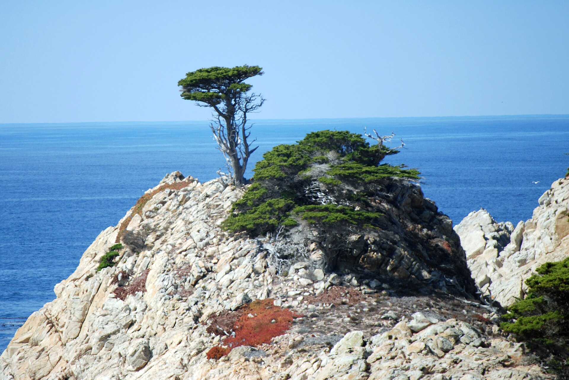
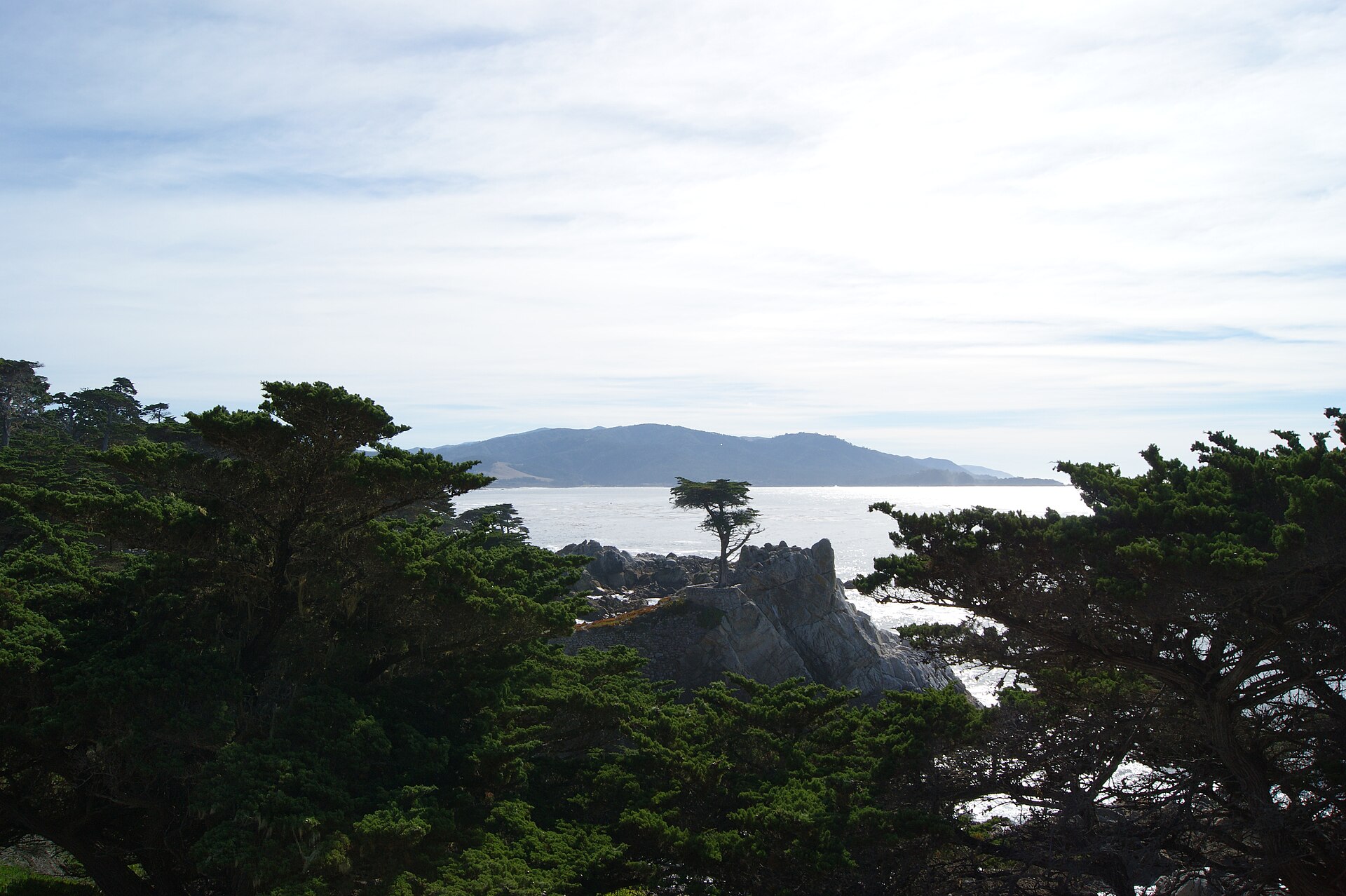
The 17-Mile Drive runs along the Pacific coastline through the reserve, connecting Stillwater Cove, Cypress Point, and the Lone Cypress above the surf line in a circuit that takes most of an afternoon at a proper pace.
Into the Del Monte Forest reserve
Stillwater Cove, on the sheltered side
Cypress Point, above the surf
The Lone Cypress on its headland
On arrival
Itinerary 04 · Ninety miles of Santa Lucia coast
No airport, ninety miles, and one road
Journey
By road from Carmel
From
Continuing south on Highway 1
Or by air
Helicopter to the Sur Ridge corridor
Airports
None along the stretch
The crossing
There is no commercial airport; the approach is by luxury car continuing south from Carmel, or by helicopter to a private landing area within the Sur Ridge corridor.
By luxury car south from Carmel
The only road in
By helicopter to the Sur Ridge corridor
A private landing area
The register
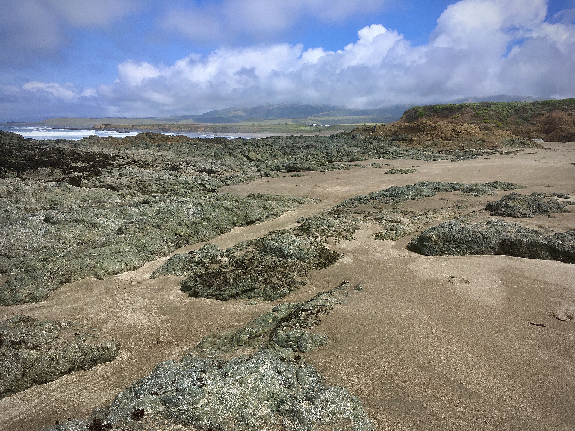
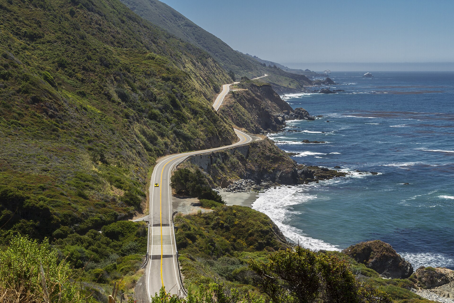
Big Sur begins where the Monterey Peninsula ends, Highway 1 climbing onto the Santa Lucia Range and narrowing against the Pacific for the next ninety miles.
Your concierge can arrange private lodge access, guided coastal walks, and full Big Sur itineraries.
36.3714° N, 121.9018° W · Bixby Creek, on Highway 1
The run
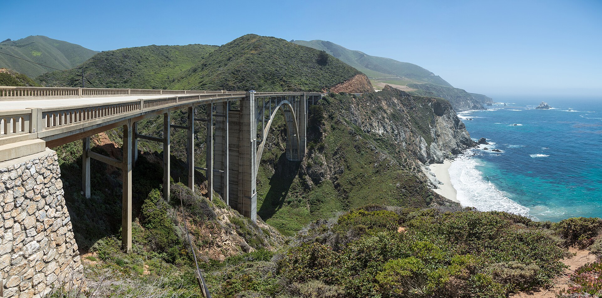
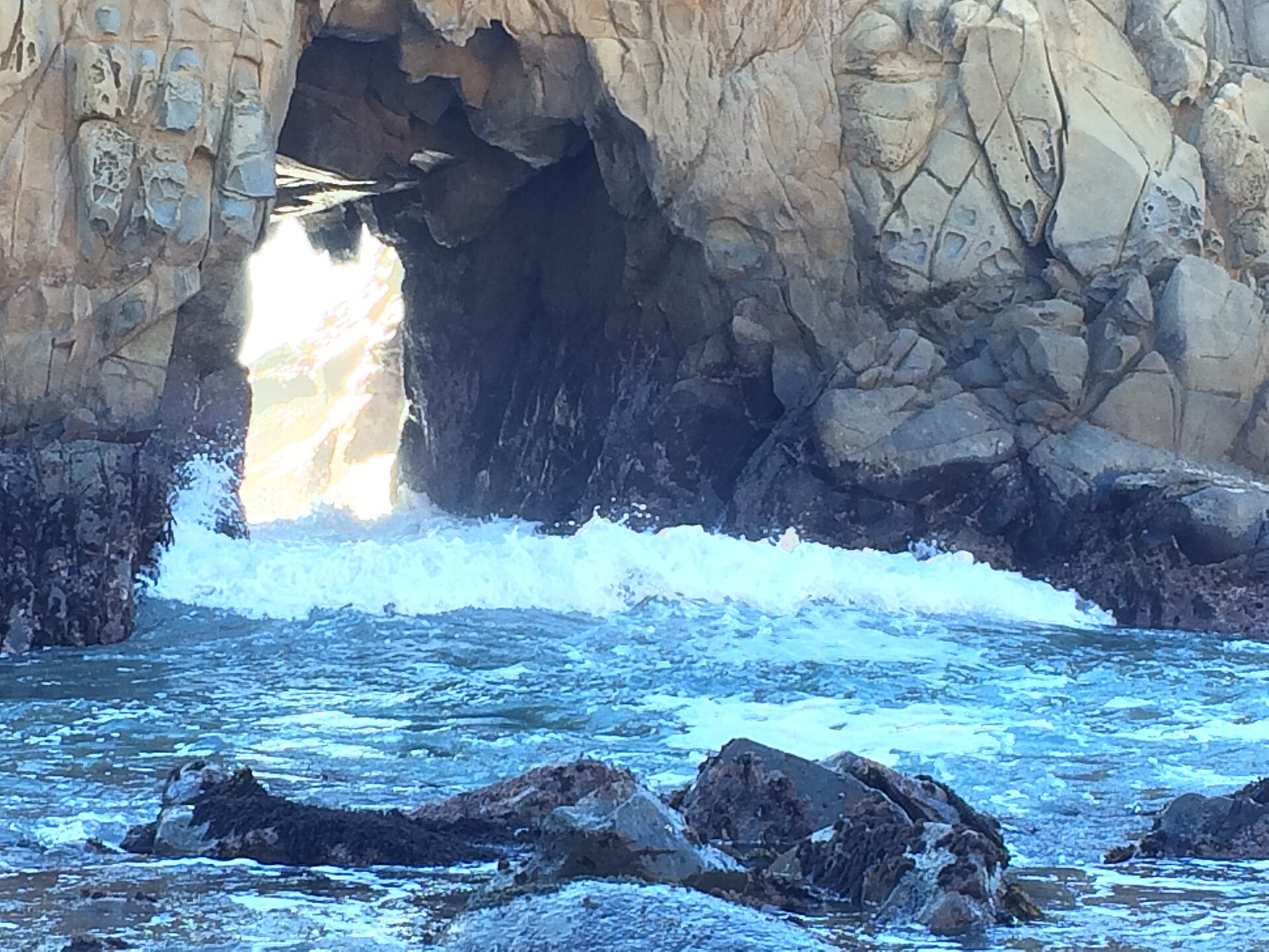
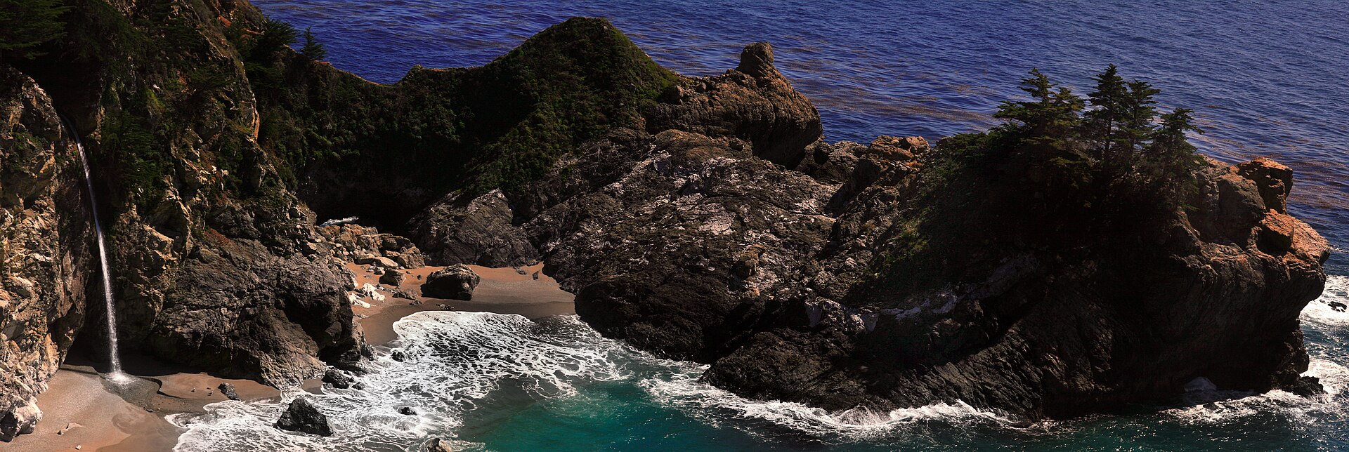
Bixby Creek Bridge marks the first major dramatic point of arrival, the concrete arch crossing a deep gorge above the surf. Pfeiffer Beach on Sycamore Canyon Road offers one of the few accessible shorelines along the stretch, its dark sand and offshore rock arches framing a coastline unlike anything further north. McWay Falls at Julia Pfeiffer Burns State Park drops an eighty-foot cascade directly onto the cove below.
Bixby Creek Bridge, above the gorge
Pfeiffer Beach, off Sycamore Canyon Road
McWay Falls at Julia Pfeiffer Burns
The Sur Ridge corridor above the road
On arrival
The company
Every itinerary on this page is arranged for two. With four routes to choose between, the decision usually comes down to what the two of you feel like rather than what is nearest, which is the right way round and only works if the company is worth consulting.
An outgoing, authentic and playful girlfriend for an FMTY travel GFE arrangement makes everything better. The elite companions introduced through Mynt Models are chosen for exactly that, and they are as at ease in a cellar at eleven as on a cliff road at six.
Questions
The valley, if you want the day to have appointments in it. The coast below Carmel, if you want it to have none. Those two are the furthest apart in character of anything on the page.
It can be, and from here alone. Ninety minutes each way by road or twenty-five in the air makes it possible, though the rhythm of the place tends to argue for the second night once you are there.
Naturally, since one begins where the other ends. The drive south from Carmel onto the cliff road is the single best hour of road on this page and makes the two a sequence rather than a choice.
By car south from Carmel, or by helicopter to a private landing area on the ridge. There is no commercial field along the stretch, which is much of what keeps it the way it is.
Every model is met and vetted in person before she is represented, and only a small share of applicants are accepted. That is why an FMTY travel companion arranged through us is as good company on a tasting morning as on ninety miles of cliff road.
Choosing well. Nothing here is far; everything worth doing has a door that does not open to a walk-in, and the arrangement is about those doors rather than the distance.
Arrange the journey
California does not compress neatly into one weekend, and the four destinations on this page represent four genuinely different versions of it: the valley floor, the fog-cooled hills, the coastal links, and the raw Pacific edge. From San Francisco, all four are within reach by private charter or car.
Request a private consultation to begin planning your itinerary.